EKZ zet Field Lab op de kaart
A field note on how an open robotics test site became a named stop on the Industrie 4.0 map.
Industrie 4.0 in de praktijk
Industrie 4.0 is often described in diagrams: sensors on machines, data flowing to dashboards, decisions made faster. On a working site the picture is less tidy. Cables run over wet soil, batteries need changing, and the robot has to be understood by the person standing next to it.
Field Lab was built to test that gap. It is a place where robots, sensors and operators work on the same plot, and where the results are written down even when they are inconvenient.
Morning on the test rows. Each row is sampled at the same hour so that sensor readings can be compared from one day to the next.
What the map shows
The Field Lab map marks every station where a robot or sensor collects data. Visitors can see which stations run on which software version and where the last calibration took place.
The point of the map is not promotion. It lets a farmer, a student or an engineer find the exact place where a measurement was made.
- Each station has a fixed position and a short description.
- Every dataset links to the calibration record used for it.
- Known faults stay visible until they are closed.
The open plot at the edge of the site. Wide spacing lets the robots move without crossing the sensor lines.
How the site came together
The site was not finished in one push. It grew from a single test row into a network of stations, and each step was recorded.
A single row
Shared logging
Public map
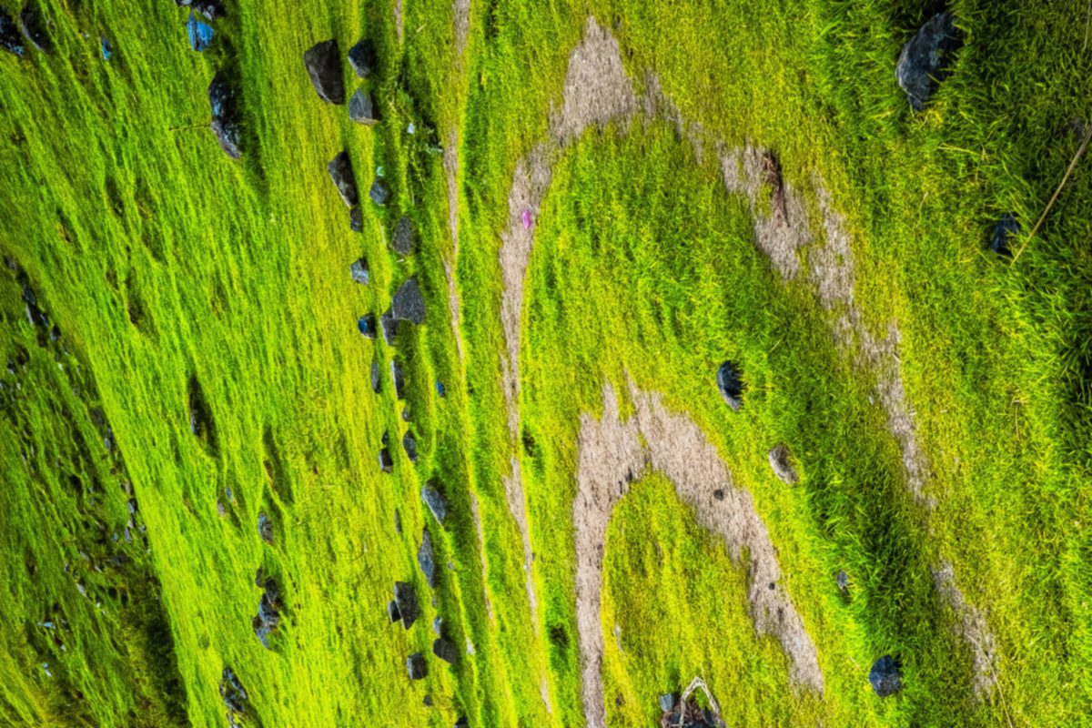
Looking out from the highest station. The terrain changes the signal strength, so every route is planned on foot first.
Questions from visitors
Can I visit a station without an appointment?
Stations are open to visit during group sessions. Contact the team first so that the robots are paused safely while you walk the route.
Is the data open to other researchers?
Yes, on request. Datasets are shared with the calibration record and a short note on conditions during collection.

Leaf sampling after rain. Moisture on the surface is logged next to each reading because it changes the result.
Next steps for the map
The map will keep growing as new stations come online. Each addition comes with its own note, so the record stays readable for people who were not there.
Want to add a station or ask about a dataset? Write to us through the contact page.